


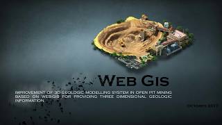
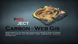
Carbon Web-Gis Open Pit Mining System
- Louvari Helen
- Nov 16, 2018
- 1 min read
Carbon is a web-based open pit lignite mining management system to assist mining scientists and land managers in achieving “best practice” mining outcomes.
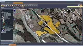
The Carbon-WebGis application gives the ability to the user to: 1) evaluate mining borehole data, based on specific user criteria, and calculate the upper and the bottom lignite surface, 2) print the original and the evaluated borehole, 3) produce spatial model of Tonnage distribution and Liginite/Overburden thickness, taking into account faults and borehole distribution, 4) calculate volumes of overburden and lignite over an area, 5) design open pit and calculate overburden and lignite volume in it, 6) produce cross sections over model and/or boreholes, 7) design and edit spatial data of model areas, open pit areas and fault structures, 8) export model data in .grd, .img, .asc format, vector gis data in .shp, .dxf format and parametric data in .csv format, and 9) create 2D and 3D maps showing the carbon with depth, the boreholes, the faults and the open pits.
Carbon is created based on Open Source architecture, using PostgrSQL-PostGIS, UMN MapServer, GeoExt and OpenLayers for GIS data manipulation and 2D map creation, and Three.js for 3D map creation. The Carbon Web GIS system can be a powerful tool in Mining Management mechanism.


![Structure from Motion [SfM] Photogrammetry for Industrial Heritage.](https://img.youtube.com/vi/gHZmoRy9Lks/mqdefault.jpg)


Comments